

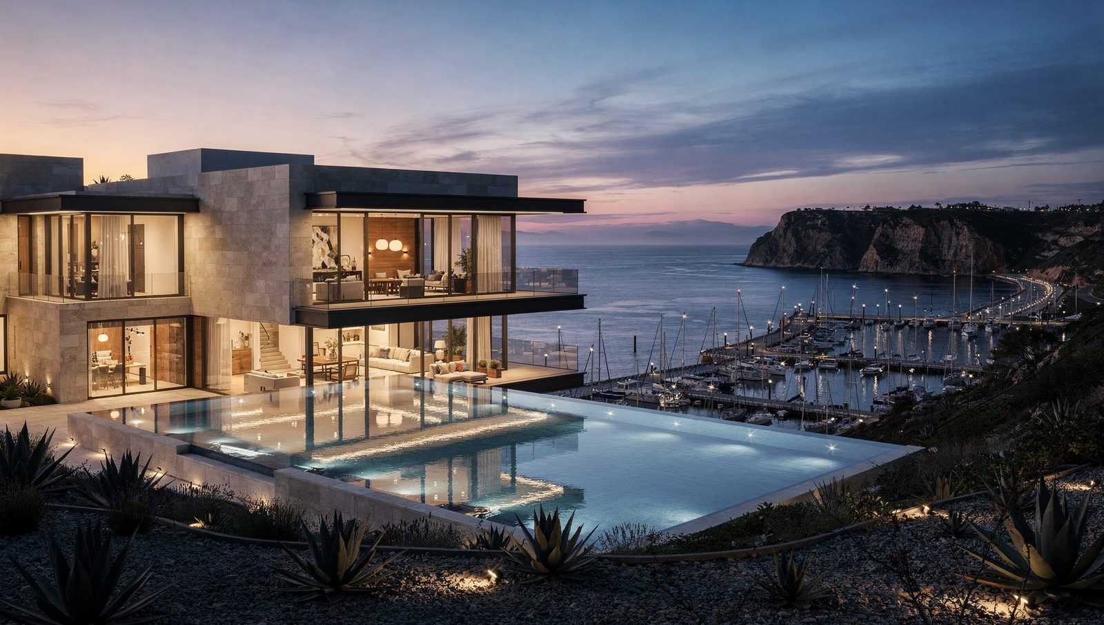
3D Rendering in Dana Point for Architects and Homeowners
I am a licensed California architect producing photoreal 3D rendering for Dana Point projects. Dana Point is blufftop country, and almost every project of consequence here needs a Coastal Development Permit. Blufftop setbacks are measured from a bluff edge that a geotechnical report defines, public view corridors from the Headlands and along PCH are protected, and the review runs on exhibits. Renderings built from real survey data move that process; renderings built from assumptions stall it.
Rendering & Visualization Services for Dana Point
For Dana Point projects, I cover the full pipeline:
- 3D architectural rendering — exterior, interior, aerial, and twilight views accurate to your spec
- Coastal Development Permit exhibits — blufftop setback, public view corridor, and story-pole equivalent views
- 3D modeling from your 2D drawings so a survey and schematic set become a working model
- fly-through animation for presentations and marketing
- VR/AR architectural presentations on a Meta headset, brought on site in Dana Point
Local Landmarks & Project Context Near Dana Point
Dana Point runs from Capistrano Beach and Doheny up through the harbour and the Headlands to Monarch Beach, Ritz Cove and the Strand, with Salt Creek and the Waldorf Astoria and Ritz-Carlton resorts along the coast. Blufftop and harbour-view parcels carry eight-figure expectations, and the visuals have to survive that level of scrutiny. I work regularly in the 92629 and 92624 zips and in neighbouring Monarch Beach, Capistrano Beach, San Clemente, Laguna Beach and San Juan Capistrano. For more on photoreal coastal work, see 3D architectural rendering in San Diego.
Blufftop Setbacks and the Coastal Permit
The bluff edge is a legal line, not a contour you can eyeball. I model it from your geotechnical survey, apply the required setback, and render the proposed structure against it — plus the public view corridor from the trail or the road, which is what the coastal review is protecting. Where a design sits close to the line, a rendered story-pole-equivalent view shows the massing from the public vantage far earlier and far more cheaply than actual poles. Your coastal consultant gets an exhibit; the commission gets an answer.
Harbor, Headlands and Resort-Scale Detail
A Monarch Beach or Ritz Cove home is judged on materials as much as massing. I render specified stone, plaster and metalwork against the actual coastal light rather than a generic HDRI, and model the harbour, the breakwater and the masts in proportion so a view from the great room is the view that exists. For estate-scale work the same model carries through to BIM deliverables, so your estimator and your renderer are working from one source.
Why Dana Point Architects Work With a Licensed Architect
I am a licensed California architect with two decades of software engineering behind me and design credits in Shady Canyon, a $5M-plus gated community. I read your construction documents the way your plan checker will, I automate the slow parts of BIM, and I deliver real headset VR rather than a web tour. Dana Point is about 60 miles and roughly 70 minutes up I-5 from my San Diego base, and I travel there for on-site VR and presentations. More about the architect behind the work.
What to Expect
You send drawings and, where views or height matter, your survey. I confirm scope and the views you need, build the model, and send a first pass. You review, I refine, and you get final images, animation, BIM outputs, or a VR file ready for a client or a hearing. One architect, no handoffs. Starting from 2D? Here is how I handle converting 2D drawings into a 3D model.
Ready to Start a Project in Dana Point?
Send me your drawings and your geotechnical survey. I will tell you what exhibits your coastal permit needs and when I can deliver them.
Start a Project or call 949-291-5027.
Frequently Asked Questions About Rendering in Dana Point
How far is Dana Point from your studio?
About 60 miles and roughly 70 minutes up I-5 from my San Diego base. Modeling and rendering are handled remotely, and I travel to Dana Point for on-site VR presentations and hearings.
Can you produce exhibits for a Coastal Development Permit?
Yes. Blufftop setback studies, public view corridor renderings from the trail or road, and rendered story-pole-equivalent views are the core of that package.
How do you determine the bluff edge?
From your geotechnical survey, not from a contour estimate. The bluff edge is a legal line in a coastal permit, so it goes into the model as survey data.
Do you handle estate-scale homes and BIM?
Yes. Many Monarch Beach and Headlands projects are large estates, so I deliver BIM with material lists and quantity takeoffs alongside the renderings, from the same model.
Can my client walk the home in VR before the hearing?
Yes. I deliver full-scale Meta headset walkthroughs and bring the headset to Dana Point, so your client can stand in the great room and check the harbour view before anything is built.
Start Your Dana Point Project
Dana Point projects are won on exhibits. Send me your drawings, your geotechnical survey, and your hearing date.
Ready to Start a Project in Dana Point?
Tell me about the bluff, the views, and your hearing date. I will scope the work and give you a delivery date.
Start a Project or call 949-291-5027.
Thorpe Studios
San Diego, CA
Phone: 949-291-5027